Log in
All resources
Create a design
38,808 Free Images of 1876 Maps
ohio
maps in the library of congress
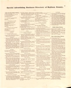
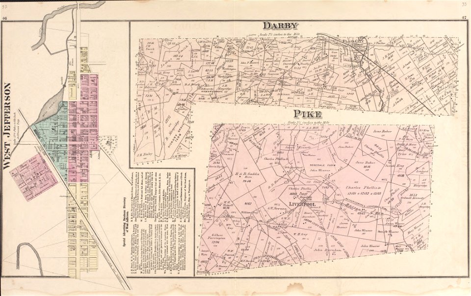
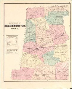
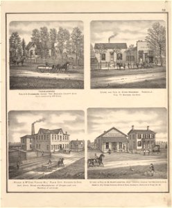
caldwell's atlas of madison co.
maps made in the 18th century
géographie générale; physique, politique et économique (1876)
atlantis magni tomus primus (biblioteca comunale di trento)
pieter schenk (i)
gerard valck
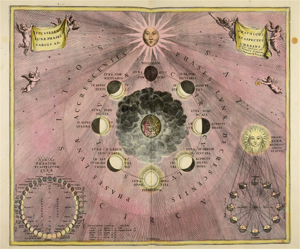
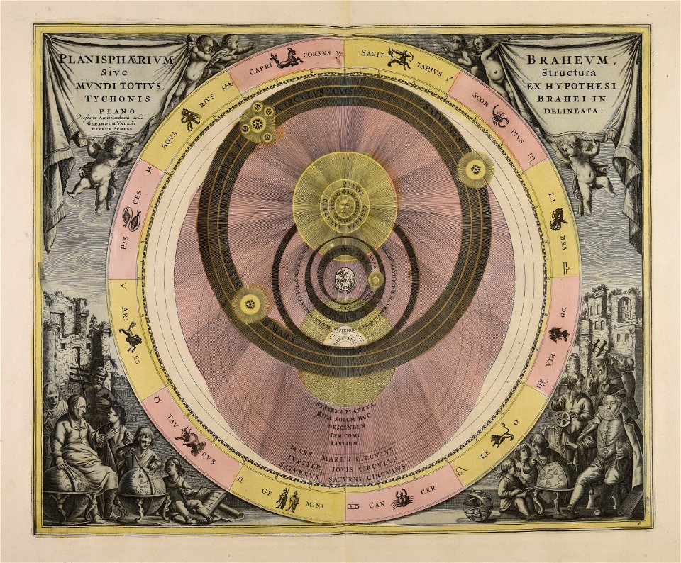
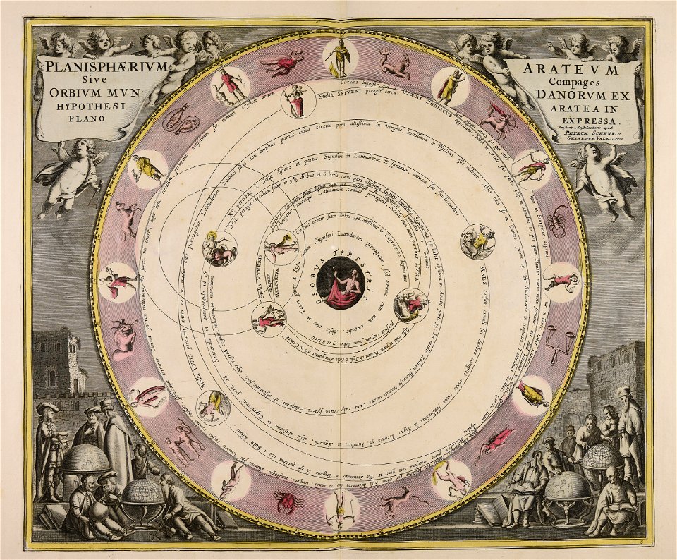
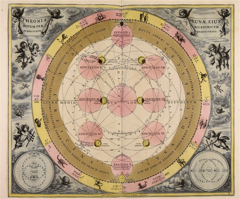
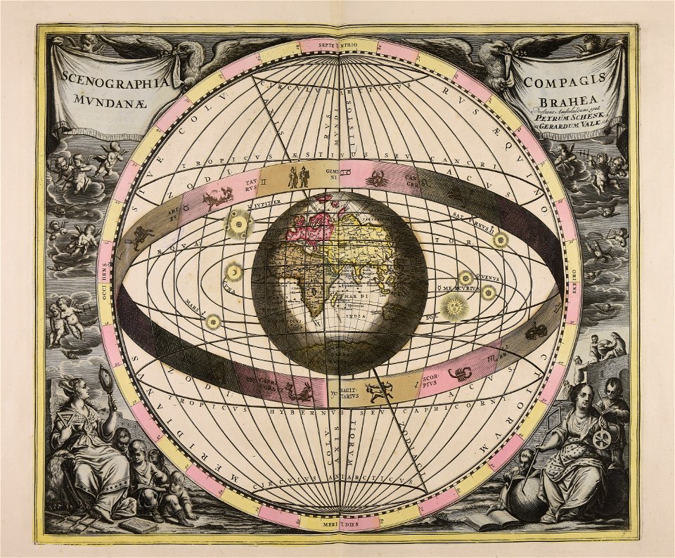
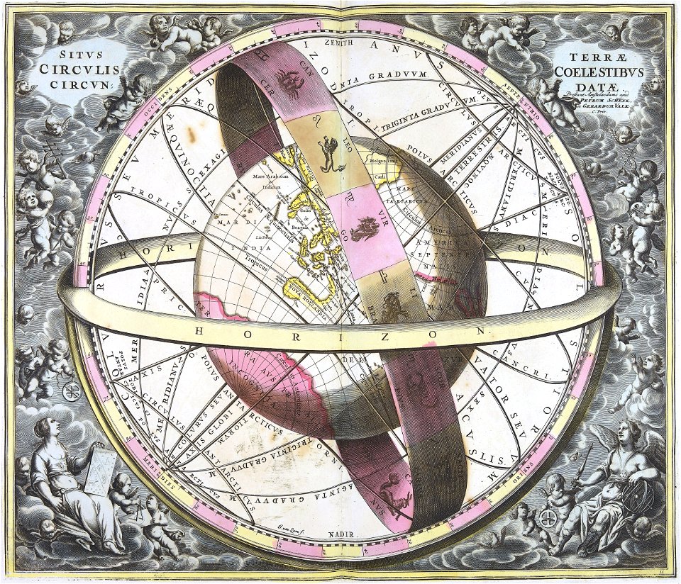
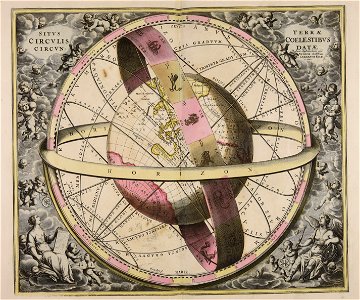
old celestial maps
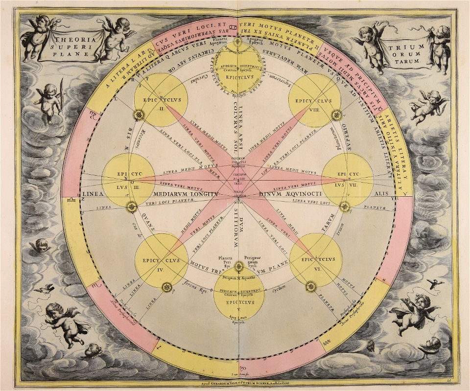
cellarius harmonia macrocosmica
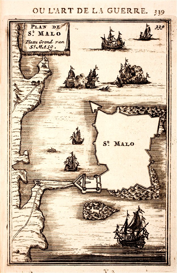
1696 in bretagne
1696 maps
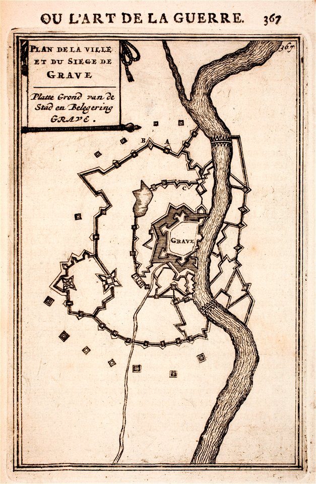
conflicts in 1672
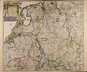
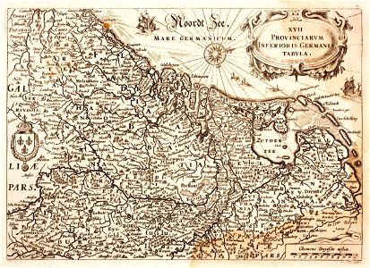
netherlands
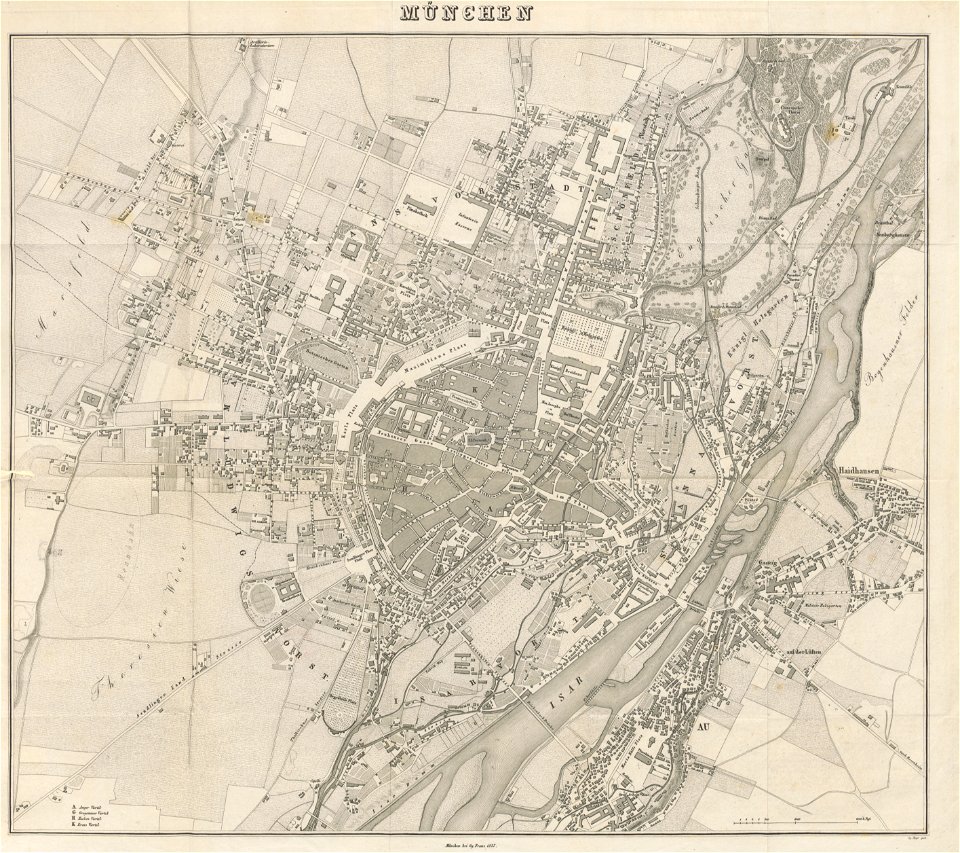
munich in the 19th century
old city maps of munich
gerard valck
moon
maps made in the 18th century
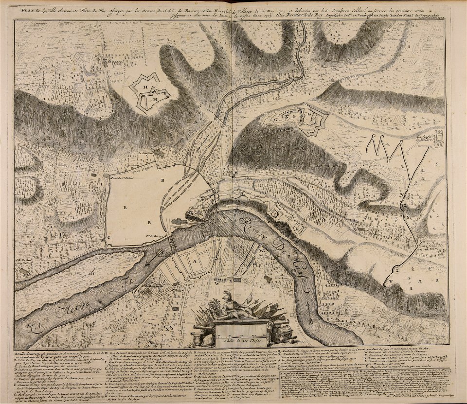
1705
maps made in the 18th century
gerard valck
maps made in the 18th century
gerard valck
maps made in the 18th century
johann baptist homann
historical images of solothurn
solothurn
gerard valck
moon
maps made in the 18th century
gerard valck
university of toronto wenceslas hollar digital collection
staffordshire
gerard valck
earth
gerard valck
earth
old maps of el hierro
history of el hierro
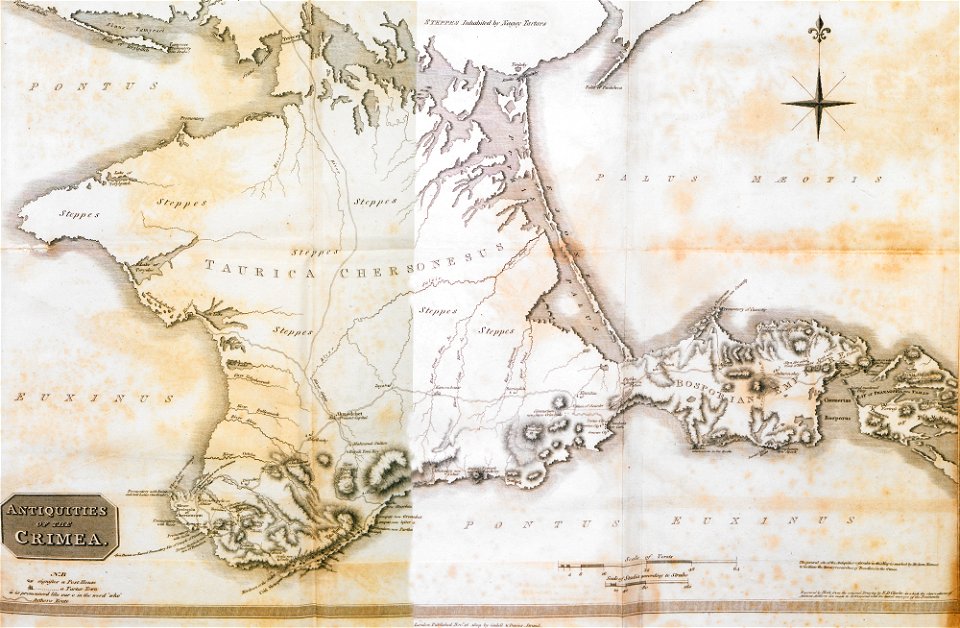
history of siberia
alfred brehm
portrait paintings by élisabeth vigée-lebrun (italian royalty)
portraits of children by élisabeth vigée-lebrun
portrait paintings in the kimbell art museum
portrait paintings by louis-léopold boilly
józef oleszkiewicz
classicism
nude paintings by william-adolphe bouguereau
virtue
african american history of the 1870s
african americans in 19th-century art
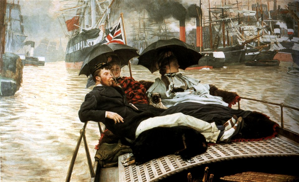
paintings of people sitting in boats
paintings by james tissot
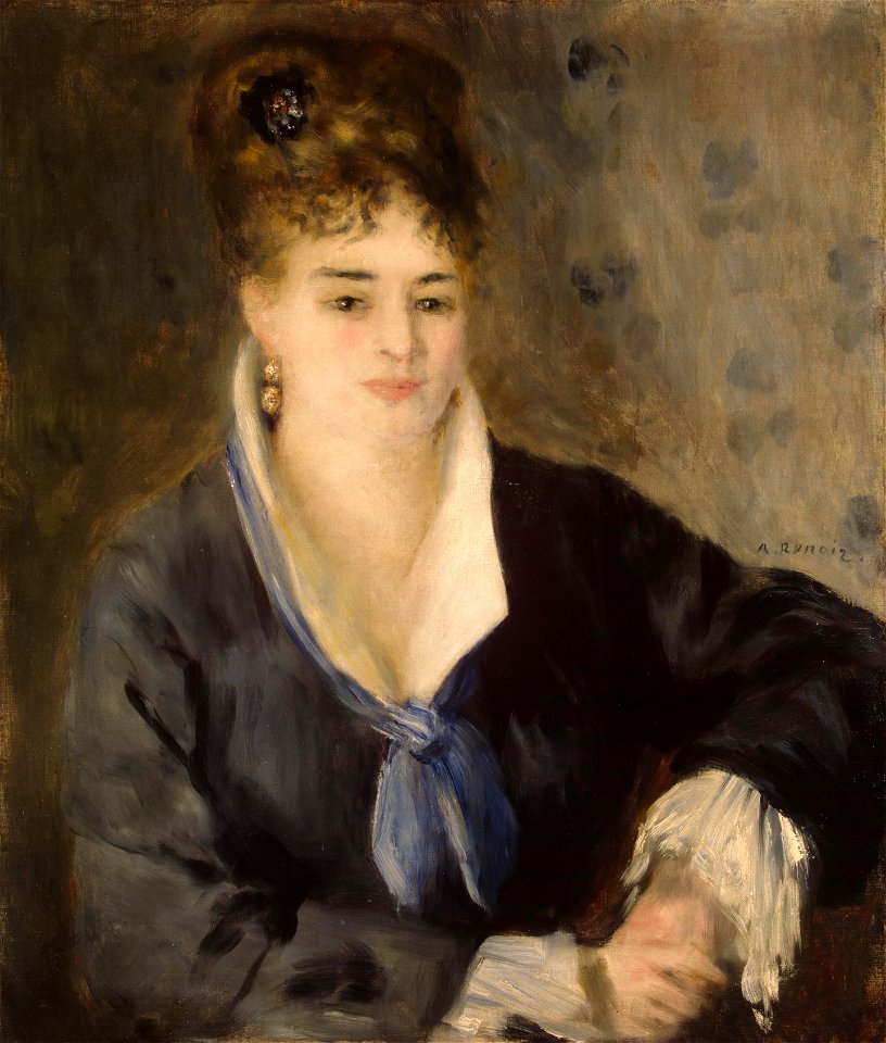
1876 paintings by pierre-auguste renoir
combing in art
19th-century oil portraits of women at bust length
female red hair in art
works by pierre-auguste renoir by fezzi number
saint petersburg
19th-century paintings in the museu nacional de belas artes
1876 paintings
the geographical distribution of animals (book)
1876 maps of the world
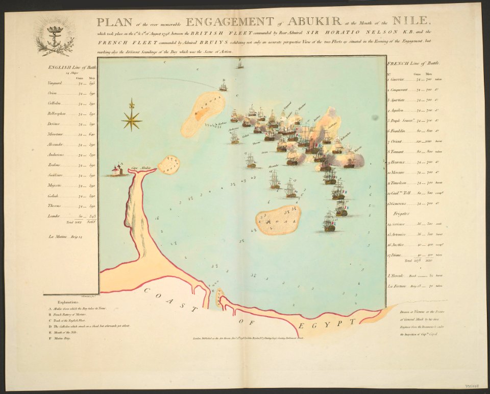
maps of the battle of the nile
battle of alexandria
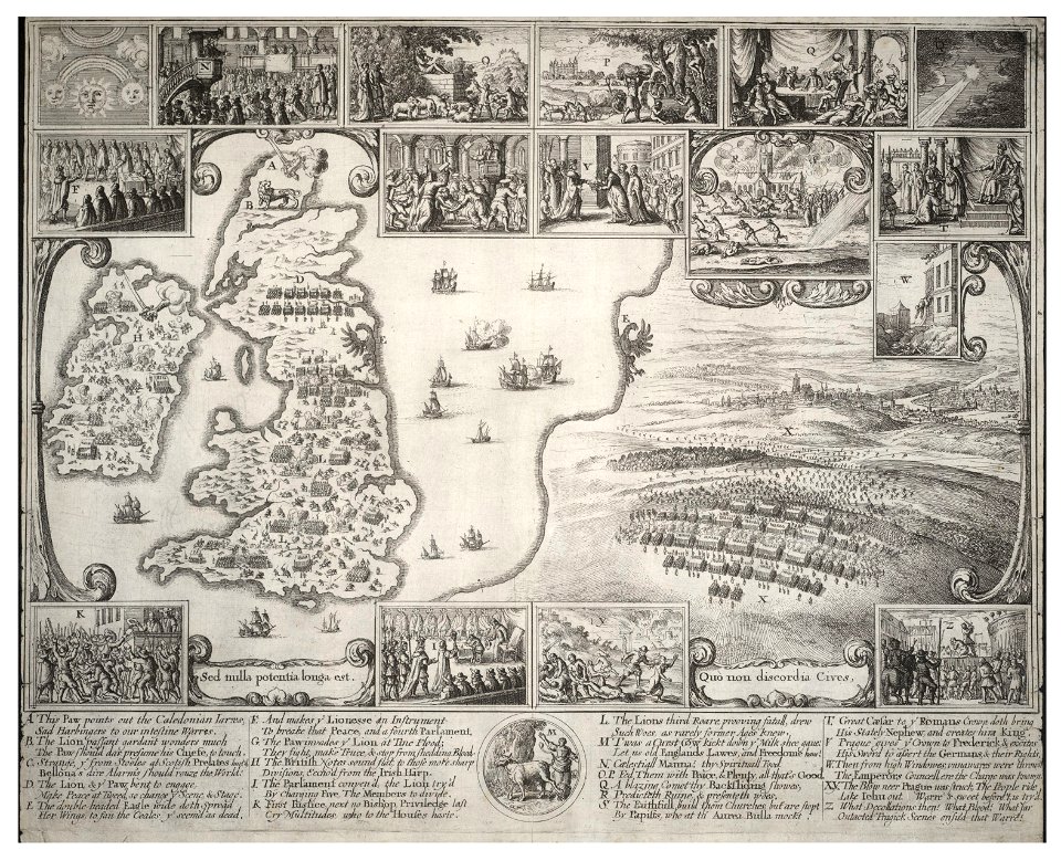
the comprehensive history of england (1876)
english-language maps showing history
géographie générale; physique, politique et économique (1876)
1870s maps of france
géographie générale; physique, politique et économique (1876)
1870s maps of portugal
nouvelle géographie universelle, vol. xvi
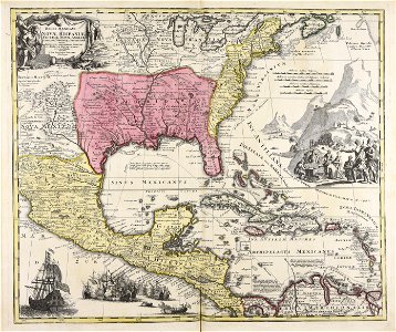
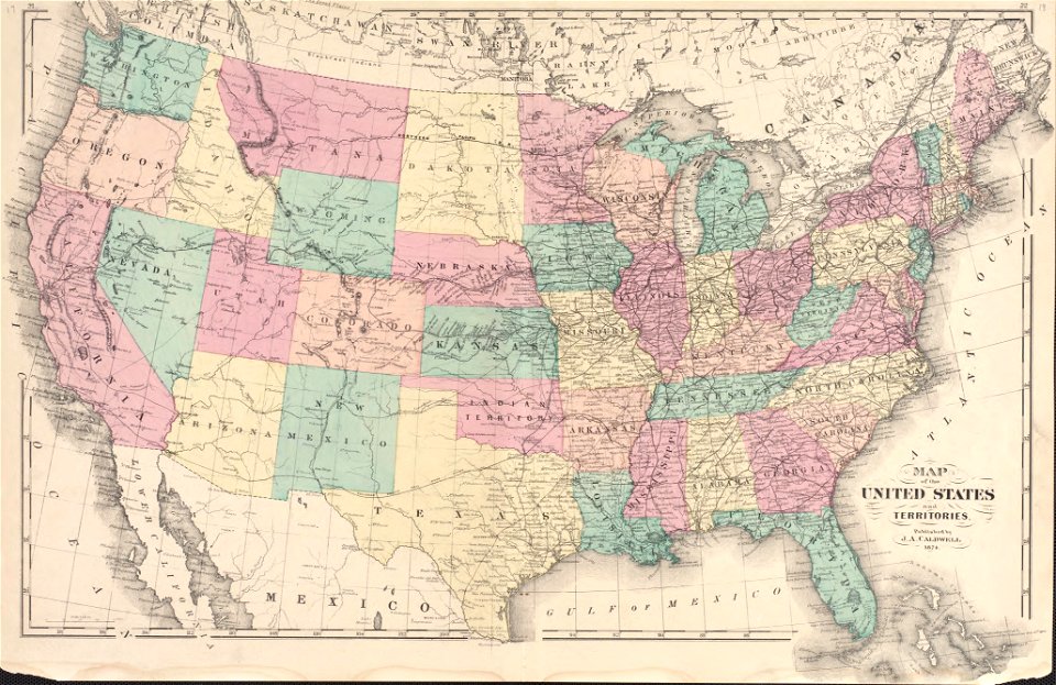
1876 maps of the united states
géographie générale; physique, politique et économique (1876)
1870s maps of france
géographie générale; physique, politique et économique (1876)
1870s maps of scotland
géographie générale; physique, politique et économique (1876)
1870s maps of cuba
géographie générale; physique, politique et économique (1876)
1870s maps of england
géographie générale; physique, politique et économique (1876)
1870s maps of greece
géographie générale; physique, politique et économique (1876)
maps of gironde (estuary)
géographie générale; physique, politique et économique (1876)
1870s maps of arabia
géographie générale; physique, politique et économique (1876)
1870s maps of france
the comprehensive history of england (1876)
english-language maps showing history
the comprehensive history of england (1876)
english-language maps showing history
the comprehensive history of england (1876)
english-language maps showing history
pictorial maps of the world
1876 maps of the world
john brydon (printseller)
thomas vivares
history of pernambuco
maps with cartouches
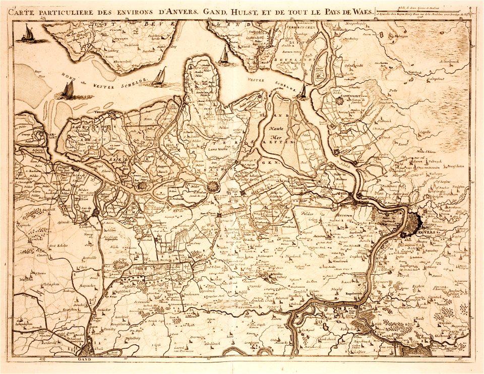
old maps of zeeland
western scheldt
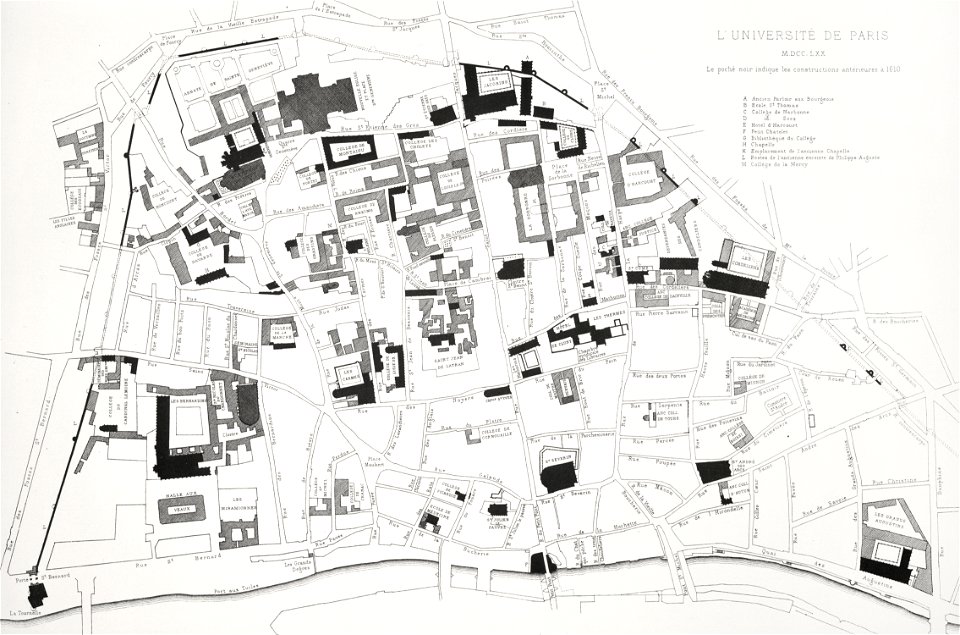
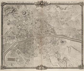
lithographs of paris
université de paris
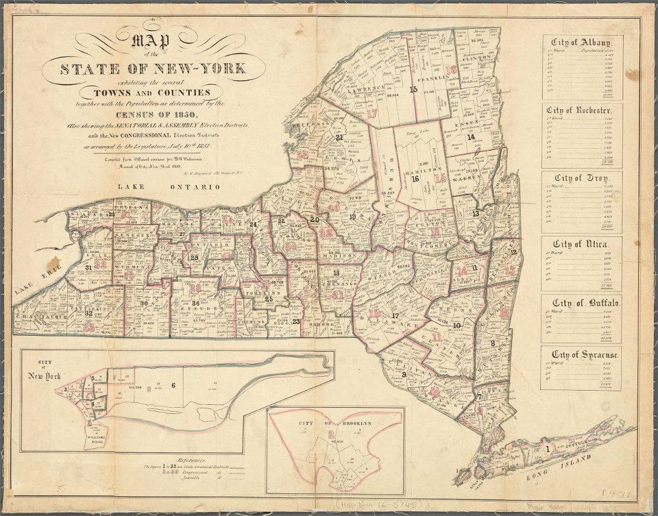
images from the new york public library
george hayward
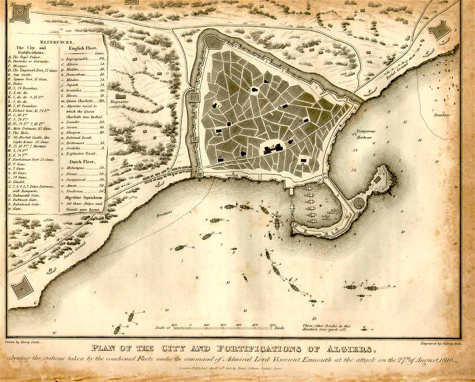
ottoman period in the history of algeria
1816 maps
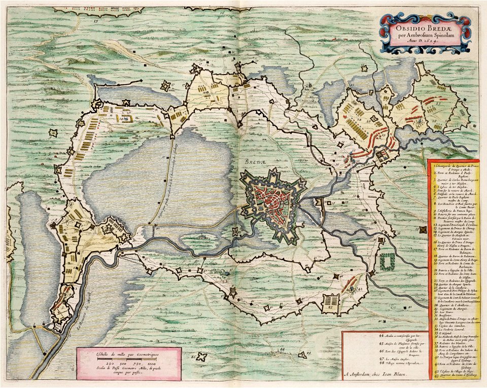
maps by willem and johannes blaeu
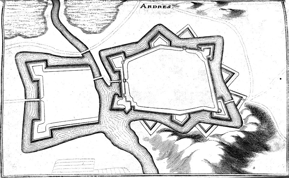
circumvallation
gerard valck
moti
university of toronto wenceslas hollar digital collection
old maps of the british isles
maps of paris from paris musées
plan de jaillot (1775)
the comprehensive history of england (1876)
english-language maps showing history
19th-century portrait paintings of women with black dresses
1870s dresses
atlantis magni tomus tertius (biblioteca comunale di trento)
1690s maps of germany
geographical illustrations by coronelli
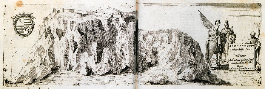
acrocorinth in art
bibliothèque municipale de reims
rès. g 152
maps by brockhaus
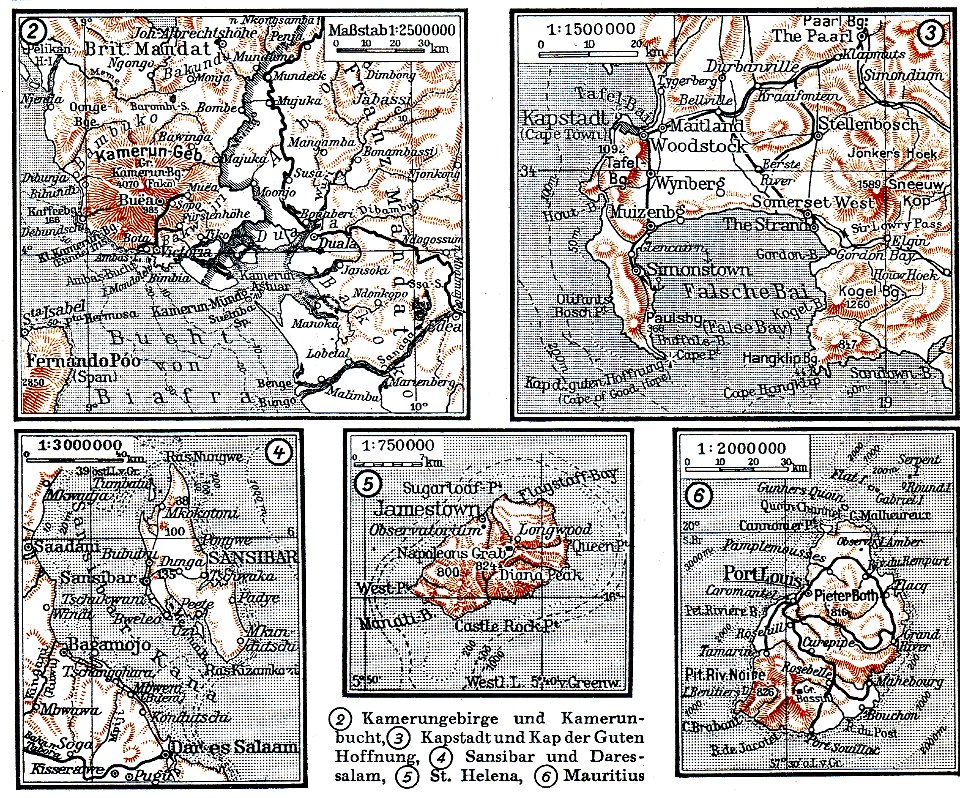
mount cameroon
bibliothèque municipale de reims
rès. g 152
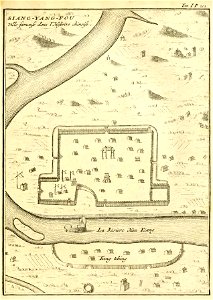
description de la chine
xiangyang
encyclopaedia universalis mundaneum
pacific
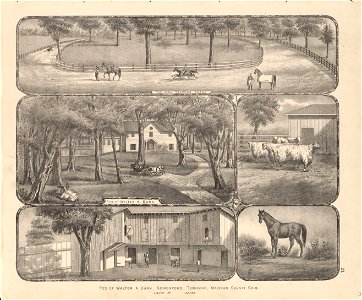
fortified farms
nicolas de fer
maps in the library of congress
ohio
maps in the library of congress
ohio
maps in the library of congress
ohio
maps in the library of congress
ohio
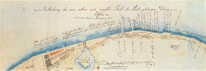
johann christoph brotze
old maps of riga
geographical illustrations by coronelli
old maps of the peloponnese
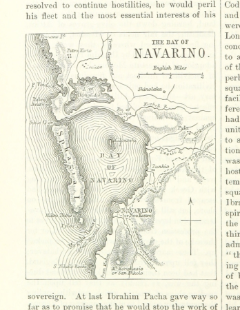
voyage dans la macédoine (1831)
old maps of macedonia
collection de la bibliothèque municipale de reims
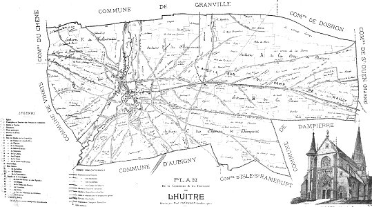
old maps of aube
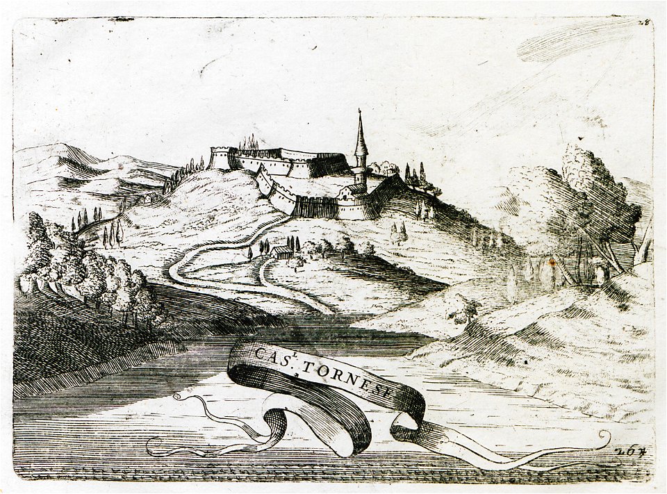
geographical illustrations by coronelli
old maps of the peloponnese
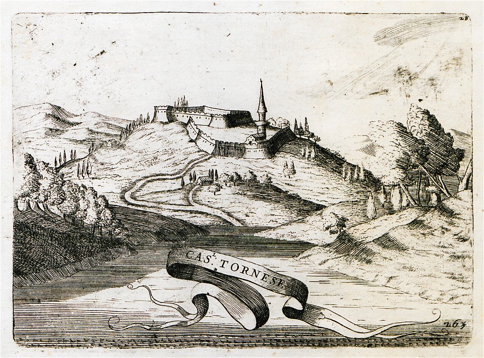
geographical illustrations by coronelli
old maps of the peloponnese
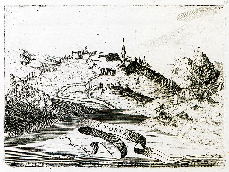
geographical illustrations by coronelli
old maps of the peloponnese
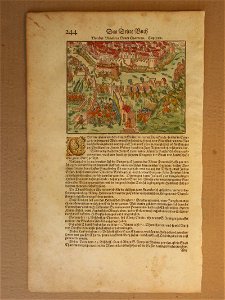
prints from pieter christiaansz bor nederlantsche oorloghen
maps of the dutch republic
old maps of chartres
battles in art
travels in various countries of europe
asia and africa
maps in the library of congress
ohio
maps in the library of congress
ohio
maps in the library of congress
ohio
maps in the library of congress
ohio
maps in the library of congress
ohio
maps in the library of congress
ohio
maps in the library of congress
ohio
maps in the library of congress
ohio
maps in the library of congress
ohio
maps in the library of congress
ohio
maps in the library of congress
ohio
maps in the library of congress
ohio
maps in the library of congress
ohio
maps in the library of congress
ohio
maps in the library of congress
ohio
maps in the library of congress
ohio
maps in the library of congress
ohio
maps in the library of congress
ohio
maps in the library of congress
ohio
maps in the library of congress
ohio
maps in the library of congress
ohio
maps in the library of congress
ohio
9301 - 9400 of 38,808
Next page
/ 389